By Sue-Ann Wayow
TRINIDAD and Tobago is officially under a storm warning.
The T&T Meteorological Service (TTMS) issued the first tropical storm warning for 2022 with an orange level alert. The warning will be in effect from 8 pm tomorrow (Tuesday) to 5 pm on Wednesday.
The message was issued at 5.30 pm.
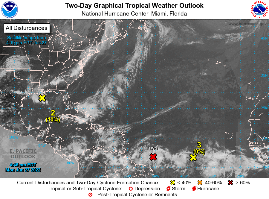
TTMS stated that the Tropical wave located east of T&T has been upgraded to Potential Tropical Cyclone #2 which means that the system was not yet a Tropical Cyclone but has the potential to intensify in a TC in short notice.
“As a result, Trinidad and Tobago has been put under a Tropical Storm Warning,” TTMS stated.
A Tropical Storm Warning means that storm conditions are likely over the warning area within 36 hours.
Periods of heavy to intense showers and/or thunderstorms are likely, which can result in rainfall accumulations in excess of three inches.
Gusty winds in excess of 70km per hour can be expected.

These wind gusts are capable of breaking tree branches, displacing unsecured roofs and loose outdoor objects, and can even topple over unhealthy trees. The risk of landslides/landslips is likely in areas so prone and sea conditions can become occasionally rough.
TTMS instructions:
- Prepare to protect lives, livelihood, and property.
- Plan evacuation to a shelter if it becomes necessary.
- Always have emergency supplies of food and water on standby.
- Secure loose outdoor items and livestock.
- Do not wade or drive through flood waters. Pre-position sandbags if your area floods and monitor river levels.
- Follow the instructions of Government Officials.
Another update will be issued at 8pm.
The National Oceanic and Atmospheric Administration (NOAA) in the US, also stated the government of T&T has issued a Tropical Storm Warning for Trinidad, Tobago, and Grenada and its dependencies.

NOAA in a public advisory at 5 pm stated, “A Tropical Storm Warning means that tropical storm conditions are expected somewhere within the warning area within 36 hours. Interests elsewhere in the Windward Islands, the northern coast of Venezuela, and the ABC Islands should monitor the progress of this system.”
The NOAA stated that at 5 pm, the disturbance was centred near latitude 8.6 North and longitude 50.9 West. The system is moving toward the west-northwest near 18 mph (30 km/h), and this general motion is expected to continue for the next few days.

On the forecast track, the system will pass near or over portions of the southern Windward Islands by late Tuesday, and move over the southern Caribbean Sea or near the northern coast of Venezuela on Wednesday and Thursday, NOAA stated.
Maximum sustained winds are near 40 mph (65 km/h) with higher gusts.
Some strengthening is forecast during the next 48 hours, NOAA added.
![]()