

TRINIDAD and Tobago should expect an intensity of weather patterns by Wednesday night into Thursday morning in some areas.
In its second yellow level alert update on Wednesday, the Trinidad and Tobago Meteorological Service (TTMS) stated, “Showers and isolated thunderstorms associated with active tropical waves continue to affect Trinidad and Tobago and surrounding waters.

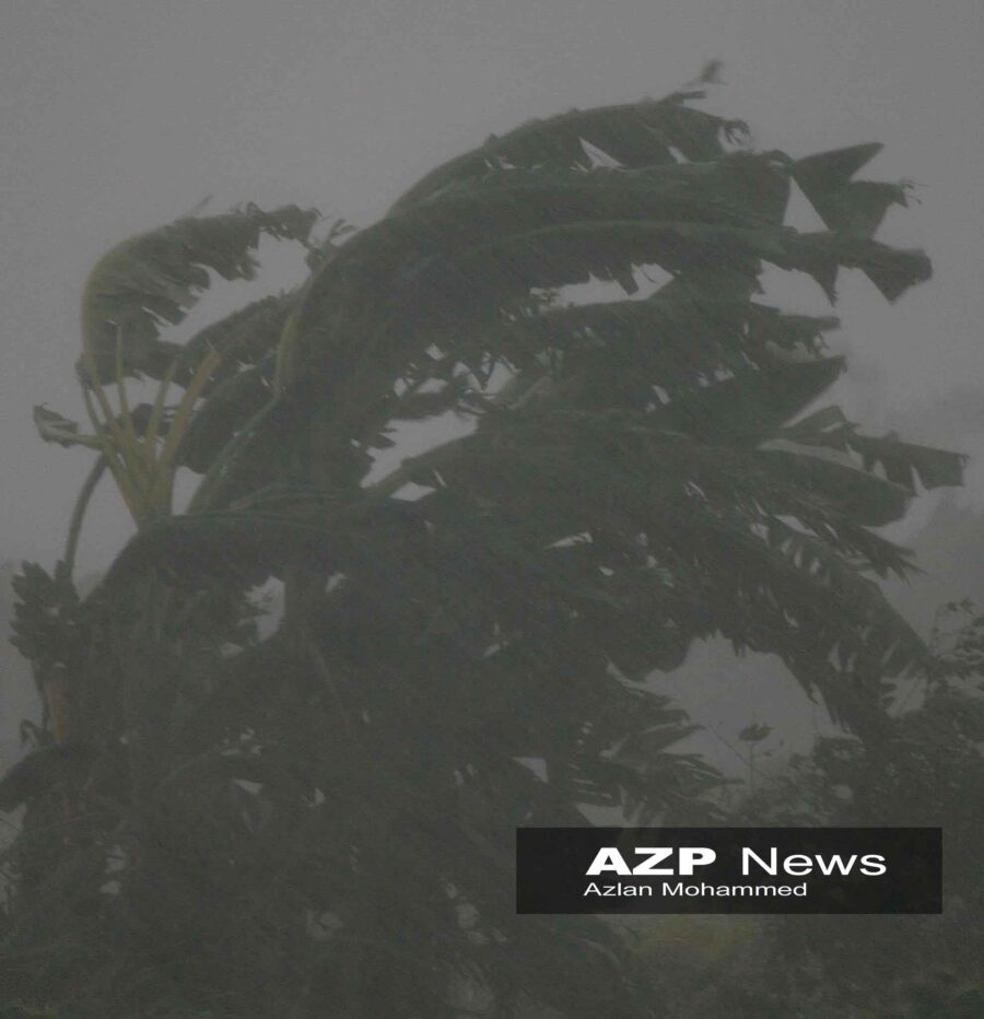
“While the intensity of the weather will fluctuate, an increase in activity is expected overnight Wednesday into Thursday morning in some areas with rainfall being heavy/ torrential at times.”
The system has a high potential (70%) for further development over the next two days. Rainfall accumulations of 75–125 mm are expected in some areas and gusty winds in excess of 70km/hr are possible vicinity of thunderstorms.

Street or flash flood events and landslips are likely in areas of heavy downpours. Impacts can include larger than normal waves and choppy seas in the vicinity of gusts. Trees, tree branches and loose objects can be displaced during strong winds.
Flooding and landslips can lead to infrastructure damage in areas so prone, the TTMS advised.
The Ministry of Rural Development and Local Government has been meeting with the various municipal corporations in preparation for any adverse effects.
![]()