
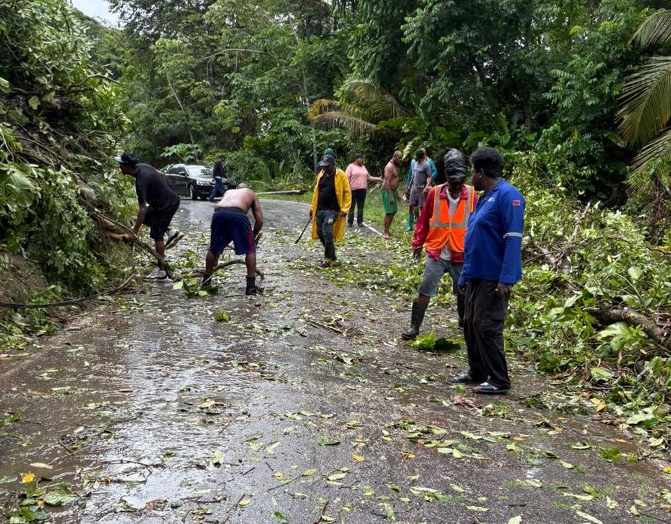
Caption: Clearing the roads near Damien Bay on Tuesday Photo: Ministry of Works and Infrastructure Facebook page
By Sue-Ann Wayow
THE yellow level weather alert has been extended to Thursday at 4 pm.
The Trinidad and Tobago Meteorological Services (TTMS) extended the alert in a fourth update at 3.45 pm on Wednesday.
The initial start time for the alert came into effect on Tuesday at 2 am and was expected to end on Wednesday at 4 pm.
In the update, the TTMS stated, “Some settling is expected during the early night, however there is a medium (60%) chance for periodic heavy showers and isolated thunderstorms to return during the early morning.”

The TTMS warned, “There is an increased risk of street flooding and landslides/landslips, particularly in areas with saturated soils. Major rivers are currently below significant thresholds; however they are steadily rising as a result of today’s rainfall.
“In the event of heavy rainfall, smaller watercourses may rise rapidly and overtop in some areas. Winds may become gusty in the vicinity of heavy showers/thunderstorms. These winds may further agitate sea conditions, displace loose outdoor items and even topple unstable trees.”

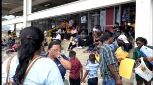
On Wednesday, the Ministry of Rural Development and Local Government (MRDLG) reported flooding at Malabar Main Road, Railway Road Sangre Grande, along the Eastern Main Road and parts of Ariapita Avenue.
Several social media videos also showed flooding in south.

On Tuesday, the Ministry of Works and Infrastructure was assisting the MRDLG with the clearing of a landslip along the north coast road in the vicinity of Damien Bay which was impassable.
The TTMS continue to advise persons in flood and landslide prone areas to remain alert, take precautions where necessary and monitor official updates.
![]()