

By Sue-Ann Wayow
THE orange level riverine alert has been downgraded to yellow and the adverse yellow weather alert has been discontinued after almost four days.
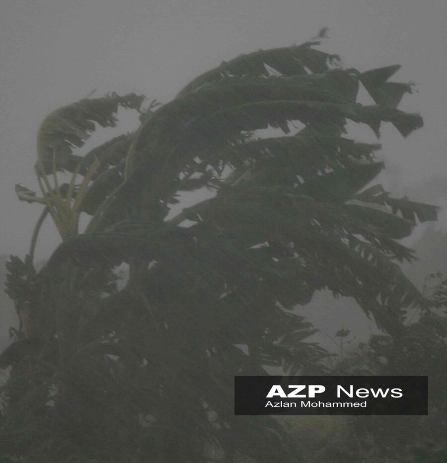
But the Trinidad and Tobago Meteorological Services (TTMS) is now advising of a high winds yellow alert.
The high winds alert came into effect at 10.15 am on Friday and is expected to continue till noon on Sunday.

TTMS stated, “Strong low-level winds will produce breezy to windy conditions over the next several days, with a high potential for gusts exceeding 55 km/h, especially in the vicinity of showers. These gusts may be brief but strong enough to displace unsecured roofs, loose outdoor items and can even topple trees or weak structures. Sea conditions are also expected to become additionally agitated and may disrupt marine activities.”
TTMS is advising the population to secure loose outdoor objects and livestock. Marine interests should exercise caution during this period and persons should follow the instructions of lifeguards.

The yellow level weather alert first came into effect on Tuesday and was extended twice. The orange level riverine alert came into effect on Wednesday at 6.30pm.
At 11.25 am on Friday the TTMS reported that water levels along the Caroni River near El Carmen and sections of the South Oropouche River remain elevated but were showing a steady downward trend.

The TTMS warned, “Riverine flooding persists in some areas due to earlier overtopping and continues to pose a severe risk to public safety, livelihoods and property, particularly for communities situated near affected riverbanks.”
The Caroni River near Tumpuna, along with the Manuel Congo and North Oropouche Rivers, are on a persistent downward trend and have receded to below critical levels. No significant rainfall is forecast to affect current impacted areas over the next 12 to 24 hours, allowing conditions to gradually improve, TTMS stated.
The riverine alert continues until Saturday at 10 am.
![]()